Luciano Giesso serves as Head of Sales, Global Governments at Satellogic.
He is a multinational executive with more than 20 years’ experience in technology & services. Mr. Giesso has led multi- country teams of 100+ employees in many countries occupying several management and sales positions in technology companies, including a 14-year tenure in IBM. Fluent in English, Spanish, French, Portuguese and German, Mr. Giesso holds an Engineer’s Degree from UCA and an MBA from San Andrés University, both in Buenos Aires, Argentina. He has completed executive programs in Harvard Business School and MIT Sloan School of Management.

Mr. Giesso, where does Satellogic reside within the landscape of Earth Observation (EO) data providers?

Luciano Giesso
Luciano Giesso
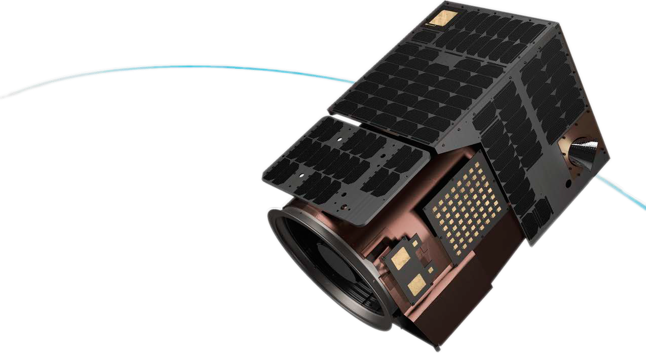
Satellogic is well positioned to meet customers at the intersection where the need for scalable capacity, high-quality imagery, and lower prices converge. We operate the largest commercial fleet for advanced sub-meter imagery.
Our vertical-integration of design, manufacture, and operation of our satellites provides customers industry leading cost savings and enables them to focus on their mission and make more informed decisions. Our most recent mission, SpaceX Transporter-8, enabled us to expand our constellation to 38 microsatellites on-orbit.
The invasion of Ukraine is considered one of the first conflicts in history to truly leverage commercial EO technology. How has Satellogic participated in these new-age intelligence tactics?
Luciano Giesso
Satellogic was able to activate a simplified interface to access, analyze, and share daily image collections over the region. Humanitarian organizations operating in the area were offered free access while commercial stakeholders could subscribe and purchase timely data.
Satellogic recently announced a new offering, Space Systems, specifically aimed at sovereign nations. How does this differ from your nations' Constellation-as-a-Service product?
Luciano Giesso
Space Systems is a direct satellite sale opportunity for nations that require ownership of the spacecraft and/or are interested in global tasking autonomy.
Constellation-as-a-Service is designed for sovereign territory monitoring, delivering guaranteed tasking capacity over a defined area of interest, usually leveraging the capacity of two or more satellites for increased coverage and frequency.

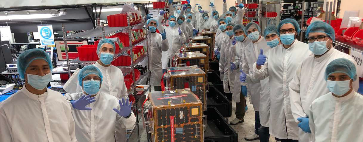
The Satellogic team, photo courtesy of the company
Space Systems was introduced as the solution to a challenge that had been long out of reach for many: owning a sub-meter resolution satellite and developing a national EO program.
Starting at less than $10 million and including ancillary costs for launch, commissioning and the operation of a satellite, Satellogic can deliver a national asset in as little as three months.
Custom satellites are also available, with proprietary payload development and existing ground segment integration support.
Why is Space autonomy so important for a government?
Luciano Giesso
Governments seek access to data relevant to objectives. While there may be shared interests in geospatial data for global security, such as activity in the South China Sea or events such as the invasion of Ukraine, most sovereign missions may require monitoring of sovereign territory, remote assets, and other interests specific to each nation.
Access to EO data has become more widespread through the growth of geospatial marketplaces and resellers, but these channels cannot guarantee capacity and/or delivery for all mission requirements.
Whether it’s a matter of avoiding data release delays caused by foreign controls or increased demands limiting the tasking capacity of EO satellite operators, governments can face many barriers to gain access to exactly what data the nation needs and when.
Beyond monitoring global points of interest, what other applications is Satellogic uniquely positioned to support within the government sector?
Luciano Giesso
As the scope of national security evolves and expands, so does the need for EO data. Our EO data provides situational awareness not just from a traditional defense perspective but also environmental health and resource management. This requires increased capacity, and that’s why Satellogic continuously expands and enhances its constellation.

Paired with our low-cost and industry-leading capacity, we enable governments to collect timely information for analysis and research, as well as catalog data for historical research such as richer insights around the changing ground conditions associated with prolonged droughts that may impact food security or fire risks, change detection in remote regions with growing populations, illegal encroachment near government assets, conservation planning and management, public safety and urban expansion — all of which can contribute data for more effective decision making, positive outcomes and significant cost-savings.
satellogic.com


